
We are currently processing the data from our first season – while I am busy with assessing the potential of the individual sites for research questions, Marion works on the interpretation of the results from the geophysical survey and Cajetan composes new maps illustrating our findings. Additionally, the processing of the drone photographs that Cajetan took, assisted by Franziska and Valentina, is still ongoing.
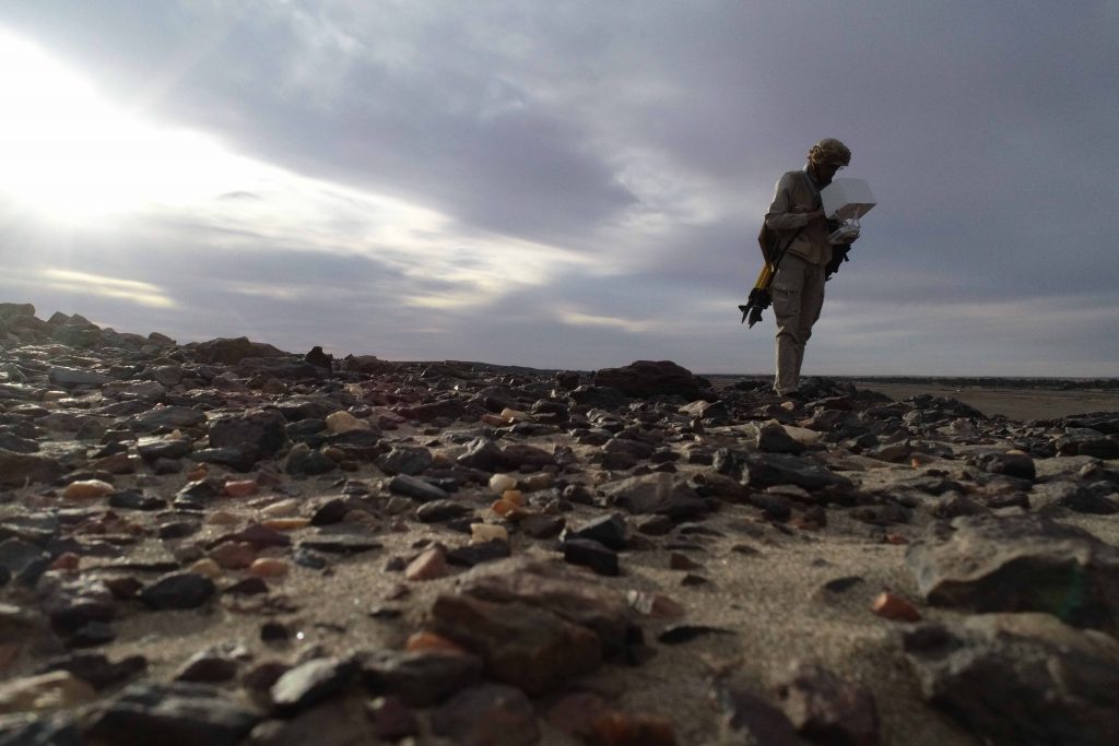
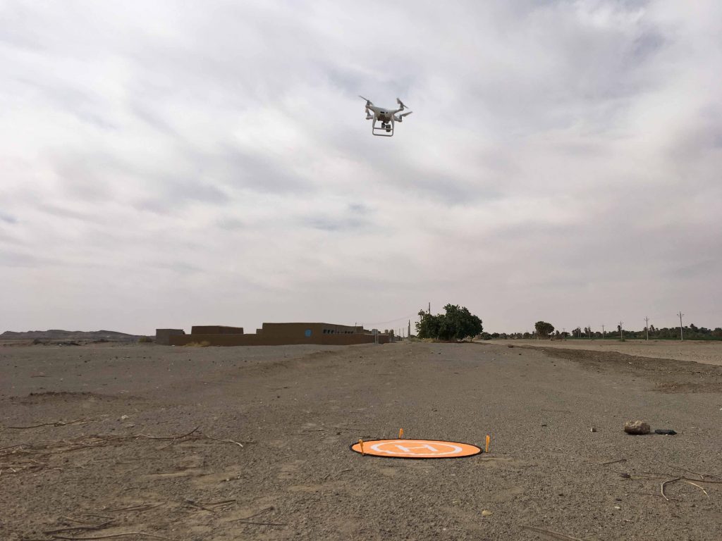
A large part of the concession on the East Bank was completely covered with the drone of type Phantom 4Pro, kindly lent to the project from the Department of Archaeology and Cultural Studies of the LMU. Compared to the AcrossBorders project, for which we were using a kite for aerial photography, this was really a great advancement, especially in terms of the extensive reach the drone can cover!
The aerial photographs allow not only georeferenced orthophotos of selected sites, but especially to establish a digital landscape model of parts of the MUAFS concession. In combination with the results from magnetometry, these surface models, especially from Ginis East, offer plenty of possibilities for interpreting our multi-period sites within their environmental surroundings. Great advances thanks to this first very successful season!