I am delighted to announce the next DiverseNile seminar, which will be presented by a dear friend and colleague from Sudan: Hamad Mohamed Hamdeen is currently an Associate Professor in the Department of Archaeology at the University of Al Neelain in Khartoum. Due to the war in Sudan, he spent some time on a fellowship in Berlin, and he is currently based in Prague.
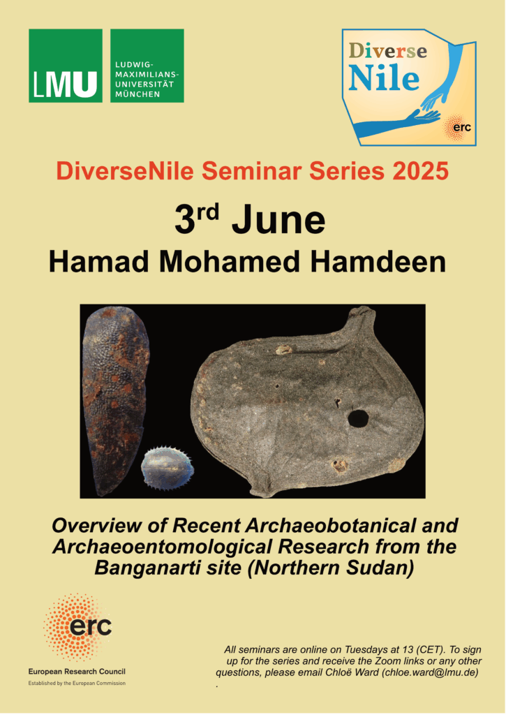
His lecture is entitled “Overview of Recent Archaeobotanical and Archaeoentomological Research from the Banganarti site (Northern Sudan)” and showcases his recent interest in bioarchaeology.
Hamad studied archaeology at BA and MA level in Khartoum, where he also received his PhD in 2017 from the University of Khartoum for his study entitled ‚Palaeoenvironment and Cultural Adaptations During the Late Prehistoric Periods in the Sudanese Desert, West Nile‘. Between the El Mahas Region and the El Golied Plain‘. This topic demonstrates his interdisciplinary interest and approach, which are crucial for modern archaeology. His diploma in Archaeology and Conservation from Nicolaus Copernicus University in Poland reflects his desire to receive an up-to-date education with a broad background and special fields of expertise.
Over the past few years, Hamad has made significant progress in integrating his research with his teaching, rendering his lectures far more pertinent to the next generation of Sudanese archaeologists. One of his contributions to a specific question is especially notable: he has been keen to develop the possibility of conducting bioarchaeological research in Khartoum, envisaging cooperation between Sudanese universities and the Ministry, as well as international collaboration. Given the excellent state of preservation of macrobotanical and micromorphological material from archaeological sites in Sudan, combined with incomplete knowledge of the country’s archaeobotanical remains, this is not only a valuable asset, but also a powerful tool for the future.
Despite the war, I am convinced that this positive development will bear fruit, albeit with considerable delay and many difficulties due to the extensive damage to universities and laboratories in Khartoum.
Given his focus on the subsistence strategies of prehistoric societies and his extensive experience of archaeological and palaeoenvironmental surveys, Hamad is a perfect fit for the DiverseNile seminar and of great interest to the DiverseNile project’s research agenda.
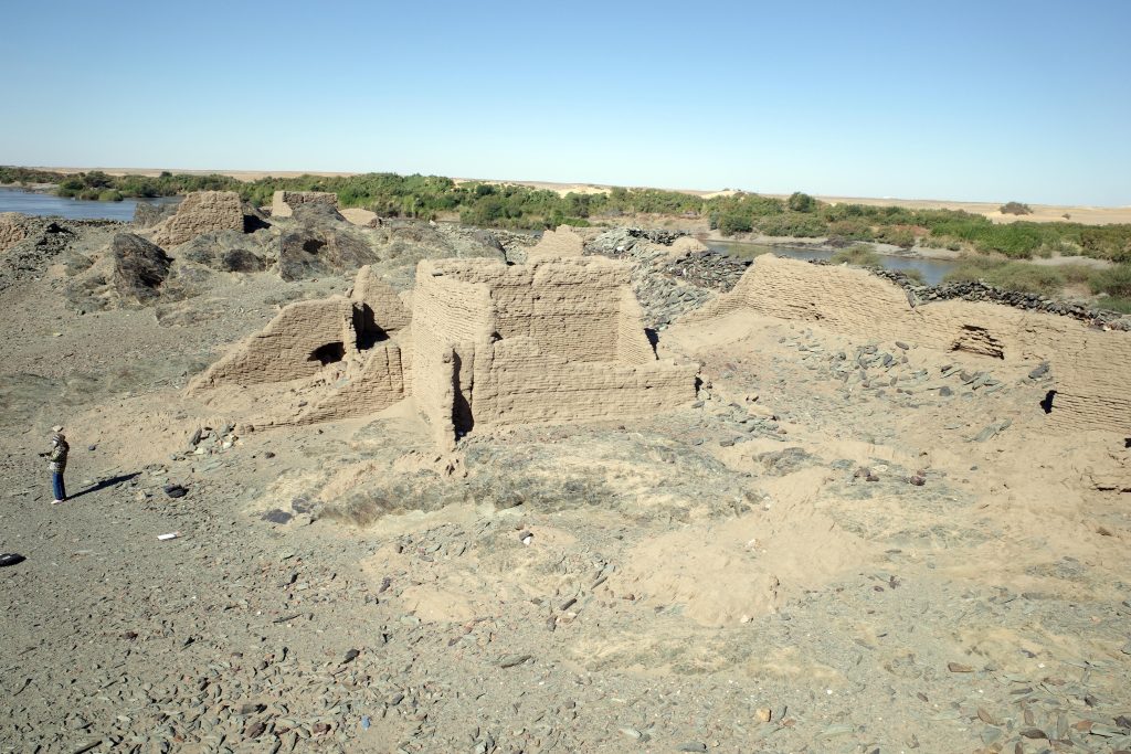
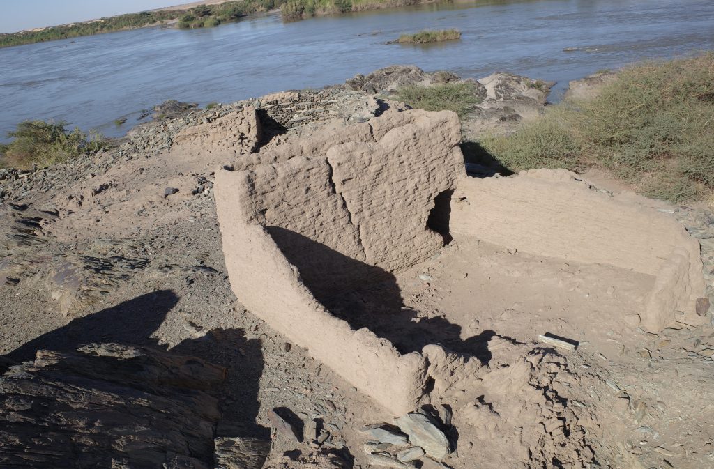
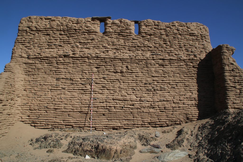
I am very much looking forward to his presentation on the new material discovered at the Medieval site of Banganarti, with a focus on archaeobotanical and archaeoentomological research.