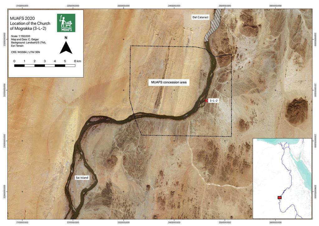
Fig. 1: Location of the Church of Mograkka East (map: C. Geiger).
The well-preserved church of Mograkka East (3-L-2, Fig. 1) is one of the most remarkable monuments datable to Medieval times in the MUAFS concession. This mudbrick church is also an exemplary case to study church architecture south of the Dal cataract. I am delighted that a new study on this important monument has just been published (Budka, Distefano & Geiger 2021), the result of our 2020 field season.
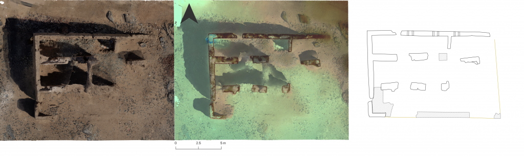
Based on a revised assessment of the ground plan (Fig. 2), the installations and the remaining traces of wall paintings, the church 3-L-2 can be dated to the 10th century CE. The church of Mograkka can be described as Type 3b according to William Adams (2009) due to the lack of a tribune within the apse. Regarding the ground plan, some small details as well as the dimensions and proportions can be specified compared to the preliminary version published by Vila (1976).
Fig. 2: New ground plan of the Church of Mograkka East, based on the orthophoto & digital elevation model (illustration: C. Geiger).
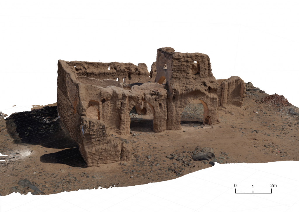
Besides this improved dating, our article presents the current state of preservation and new architectural observations based on a photogrammetric documentation of the church and the created 3D model (Fig. 3). One exciting new feature, not noted by any other scholars before, is the possible existence of intramural graves at 3-L-2. However, this would need to be confirmed by means of excavations.
Fig. 3: View of the Church of Mograkka East (3D model), from southsoutwest (illustration: C. Geiger).
All in all, the well-preserved mudbrick church of Mograkka provides important evidence of local variants of Nubian church building in Nobadia, parallels for which can be found south of the Second Cataract from the 9th century CE onwards. A future task will be to analyse these local forms in more detail and to embed these variants in a larger historical, cultural, social, and religious context.
References
Adams, W. Y. The churches of Nobadia. Oxford: Archaeopress, 2009.
Budka, J., Distefano, J. & Geiger, C. 2021. Kirchenarchitektur südlich des Dal-Kataraktes: Das Fallbeispiel der Kirche 3-L-2 in Mograkka Ost. MittSAG – Der Antike Sudan 32, 109‒121.
Vila, A. La prospection archéologique de la vallée du Nil, au sud de la cataracte de Dal (Nubie soudanaise). 4. District de Mograkka (est et ouest). District de Kosha (est et ouest). Paris: Centre national de la recherche scientifique, 1976.
We should just have landed in Munich these minutes… but since a sandstorm in Khartoum prevented the airplanes to land yesterday, our flight was cancelled and Jessica and me are now stuck in a hotel close to the airport…
Well, we are still waiting for information when we will have the next try and thus I thought I use the time to go through some of the pictures we took this season.
The 4.5 weeks of work at Ginis East and sourroundings were intense and varied, in terms of tasks, weather, nimiti and other things. Here are some impressions with a huge load of thanks to my great 2020 team! Looking much forward to the next season!
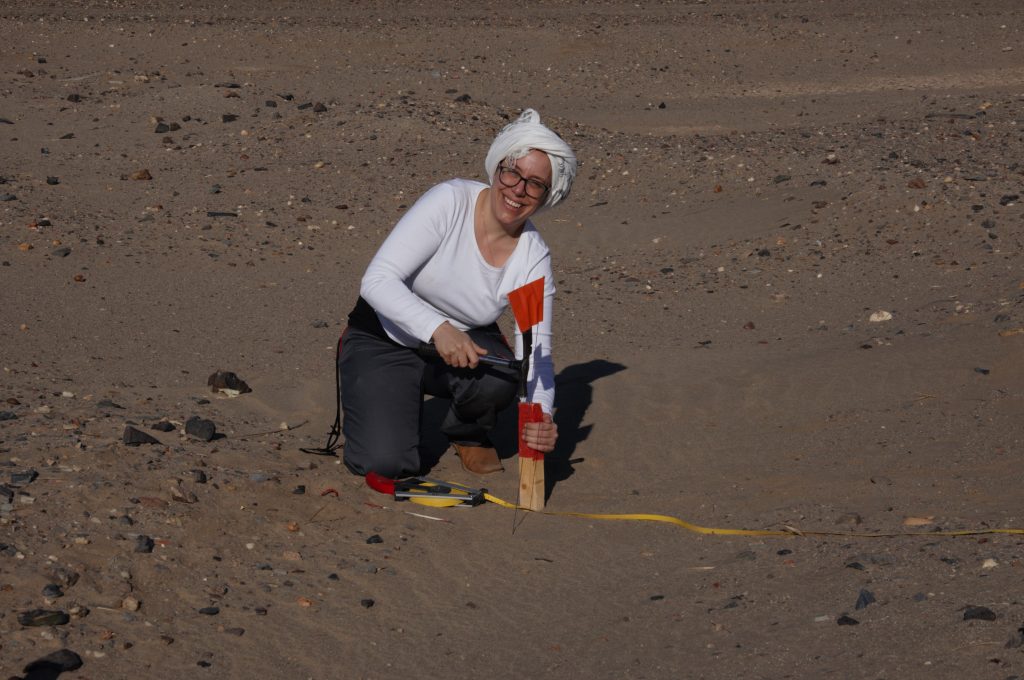
First day in the field, setting up the trenches (photo: C. Geiger)Veronica setting on of the posts for our trench (photo: C. Geiger).
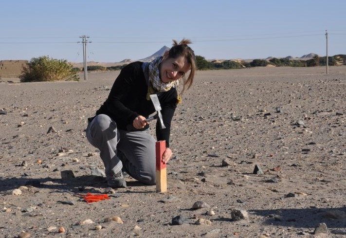
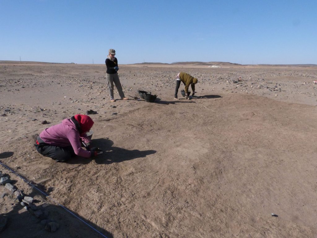
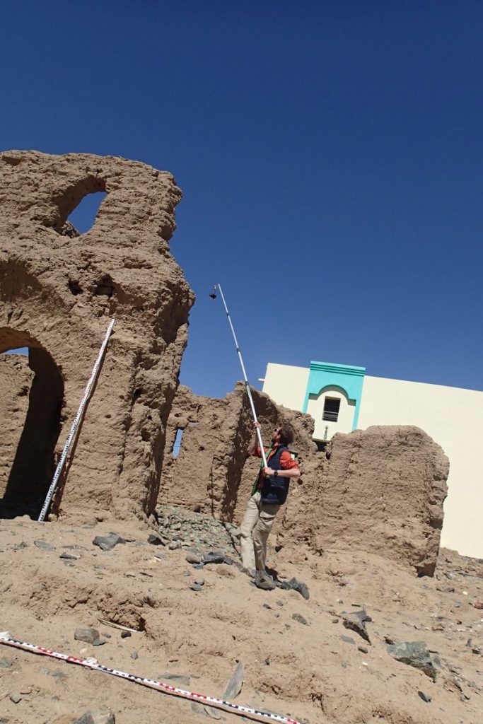
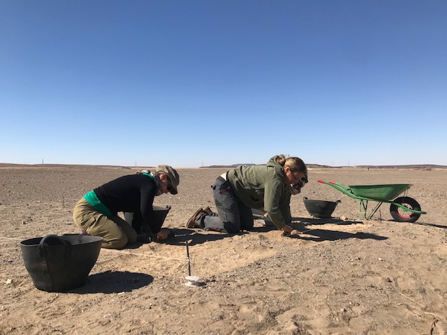
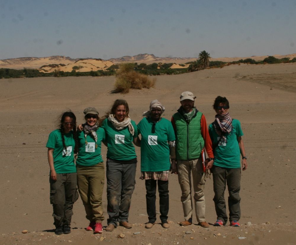
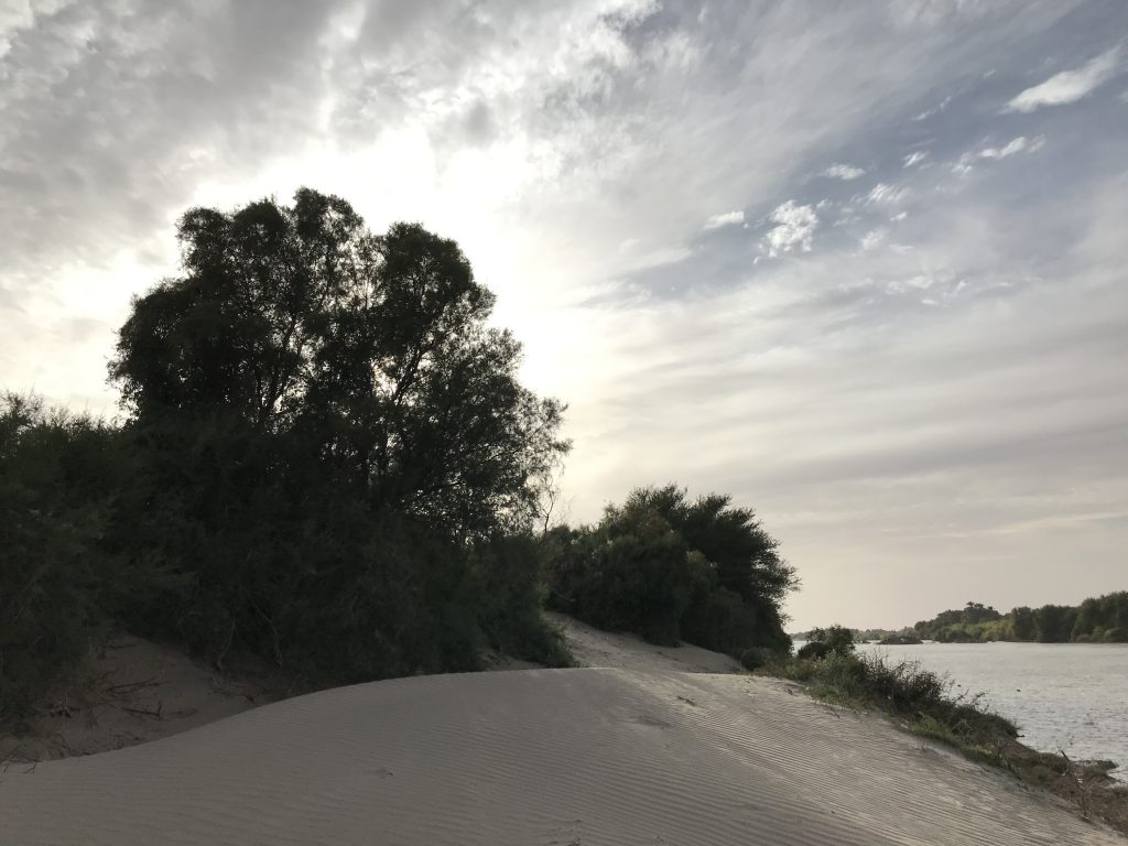
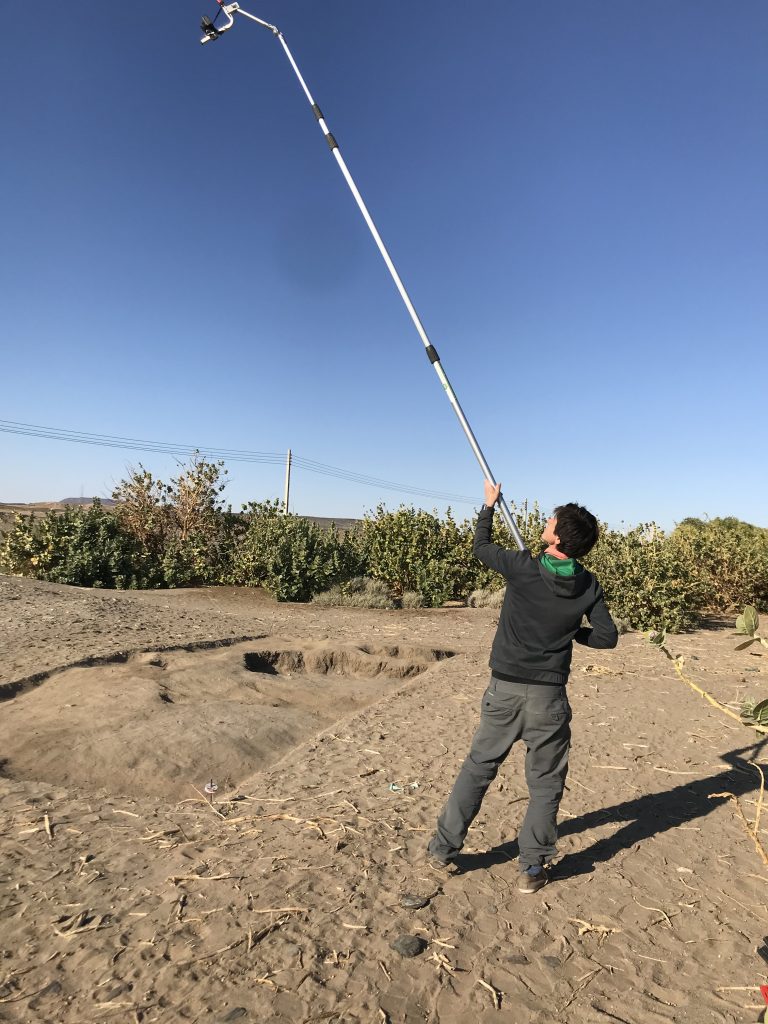
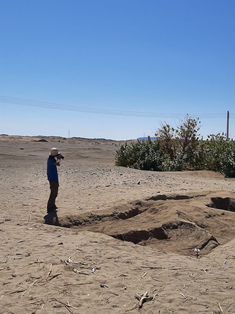
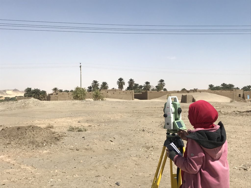
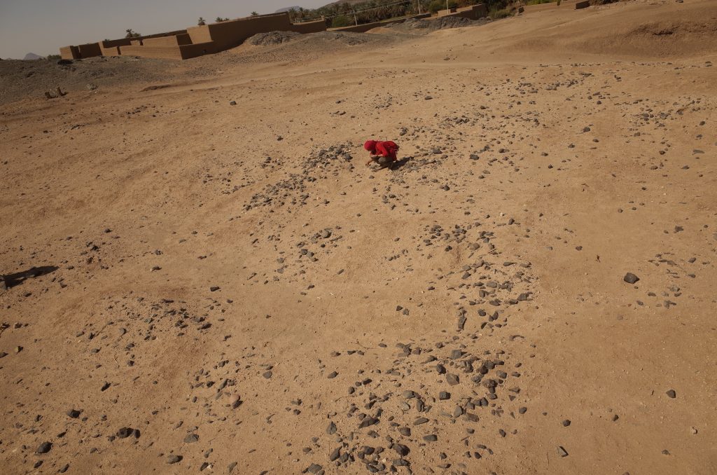
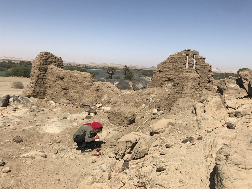
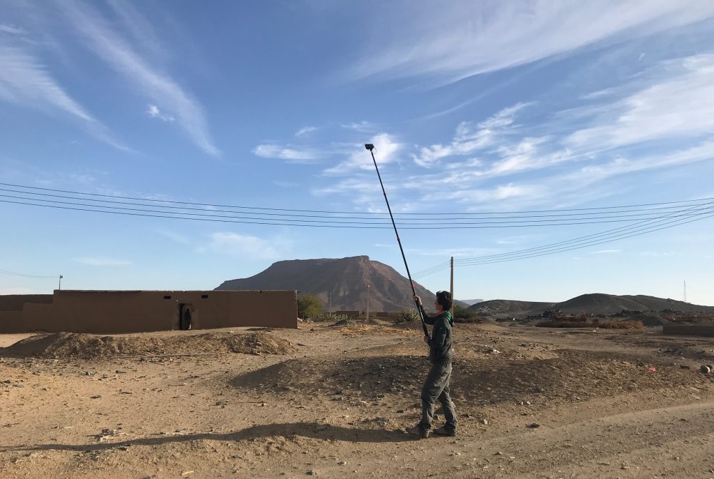
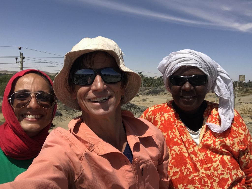
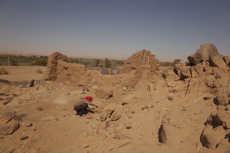
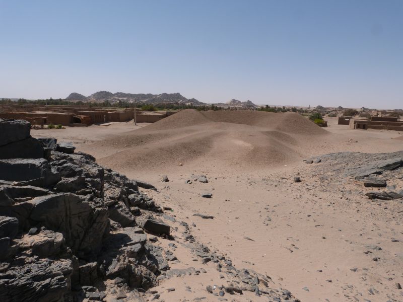
Giulia at work (photo: C. Geiger).Surface cleaning at GiE 001, Jessica and Huda (photo: J. Budka).Jessica documenting the church of Mograkka (photo: C. Geiger).Cajetan at work – image based documentation of the church of Mograkka (photo: J. Distefano).Giulia, Veronica and Huda at GiE 006 (photo: J. Budka).The 2020 Team at Ginis East.The Nile and riverbank at Ginis (photo: J. Budka).Me busy with surface documentation at GiE 001 (photo: J. Distefano).Photographing Trench 2 at GIE 001 (photo: J. Distefano).Jessica taking survey points with the total station (photo: J. Budka).The landscape at Mograkka East (photo: J. Budka).Jessica looking for diagnostic pottery sherds at one of the Christian cemeteries in Mograkka (photo: J. Budka).Jessica taking measurements at the curch of Ferka East (photo: J. Budka).Me photographing Post-Meroitic tumuli at Ferka (photo: J. Distefano).Huda, Jessica and me after we finished the survey in Mograkka.
Ferka is the district marking the northern end of MUAFS concession – the area is famous for monumental Post-Meroitic tumuli already excavated by Lawrence Kirwan and a large quantity of Medieval sites, including among other the small mud-brick church 3-G-9.
Documentation at the small church 3-G-9.
The elite tombs at Ferka, 3-G-1, are simply stunning – some of them have a height of more than 12m and clearly bear some resemblances to the famous tombs at Qustul and Ballana (see Kirwan 1939).
One of the monumental elite tumuli at Ferka East.
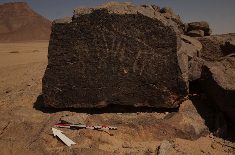
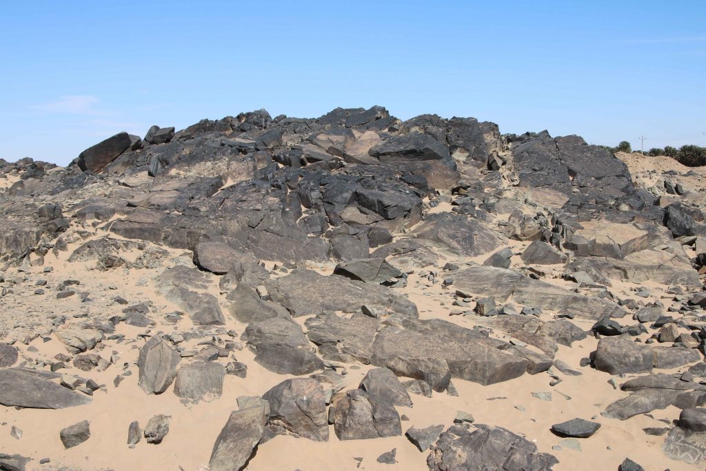
Rock art is another category that is well attested in Ferka East, most of which seems Medieval in date.
Example for rock art at Ferka East.
We documented most of Vila’s sites in the area in the last two days; some are still not found and seem to have gone due to modern house building, road construction work and gold digging.Thus, this compares to what we discovered in Ginis, Kosha and Mograkka. But as I have already noted in 2019, the site distribution in Ferka is very specific and is dominated by remains from late epochs, contrasting with other districts of the MUAFS concession.
Apart from the numerous sites dating to the 1st millennium AD, two large Kerma cemeteries, both located in the area of the large wadi, Wadi Sibée, are notable as earlier evidence. One of them comprises c. 20 tombs, the other one up to 40 tombs. We still found Kerma Classique ceramics associated with both cemeteries. This suggests a late date within the Kerma period fo these burial grounds. It is still an open question where contemporaneous camp sites or villages are located – the majority of domestic Kerma sites is situated in Ginis and Kosha, thus further upstream. These are important questions we will address within the framework of the ERC project DiverseNile which will soon be launched in Munich.
We will finish our 2020 survey in the next days, working a bit more in Mograkka and Kosha. Since Friday, we are fighting with very long power breaks and lacking phone connection and almost no internet access – no ideal parameters towards the end of a season, but we just need to stay patient. Electricity was at least working for a few hours over night, allowing recharging our equipment. So all set for another full day of archaeology tomorrow!
P.S.: and since this blog post did not go live yesterday as planned, it is actually already tomorrow and we will soon start another day!
Reference
Kirwan 1939 = Kirwan, L. P. 1939. The Oxford University Excavations at Firka. London.
From the Nile back to the Isar, from sun and sand back to clouds and snow, from desert walking back to desk work, emails, meetings and teaching – although our travel back from Attab via Khartoum via Istanbul to Munich took more than 30 hours, it feels like a very sudden transposition.
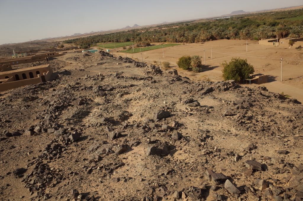
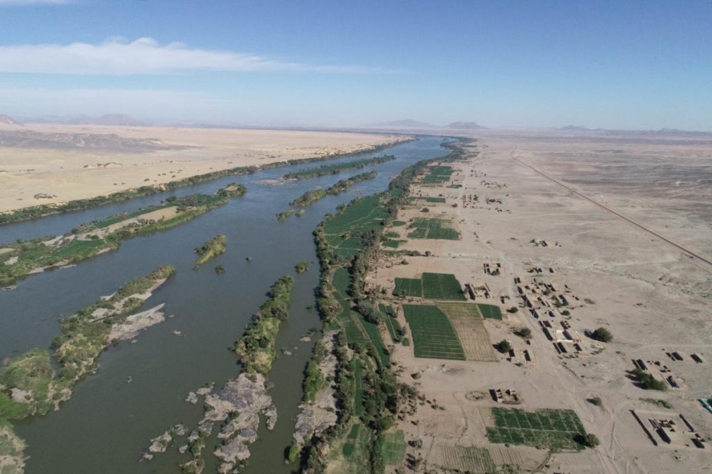
Landscape view of our concession area in northern Sudan.
Our first season of the MUAFS project was successfully closed and all of the principle goals were achieved thanks to the great support of NCAM and our inspector Huda Magzoub.
The principal goal of the first season was a new survey of the concession area, which was already recorded by Andrè Vila in the 1970s and published in his volumes 3-6. Altogether, 119 sites by Vila were re-identified and documented in the area between Attab East and Ferka East and Attab West and Mograkka West. For some of these sites, the dating can now be corrected, especially for Khartoum Variant and Abkan sites, Pre-Kerma sites, Kerma, New Kingdom and Napatan sites. Diagnostic stone tools and pottery fragments were collected from relevant sites. Other findspots of pottery and lithics that were previously not recorded by Vila, were documented as GPS waypoints and will be integrated in the new map of the area to be composed based on the results of our first season.
One particular focus was on the state of preservation of the sites
nowadays – unfortunately, at almost all sites, we observed modern destruction
and/or plundering. Especially drastic were destructions because of road
building, the electricity posts and modern gold working areas (in particular at
Mograkka West).
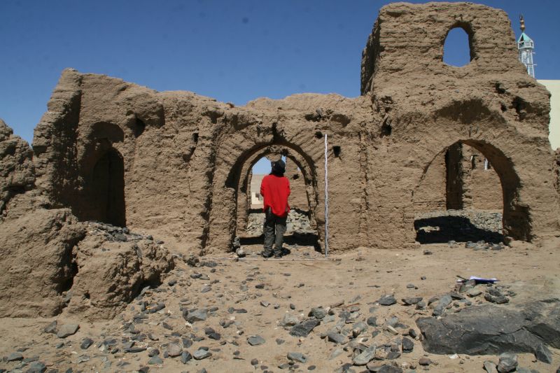
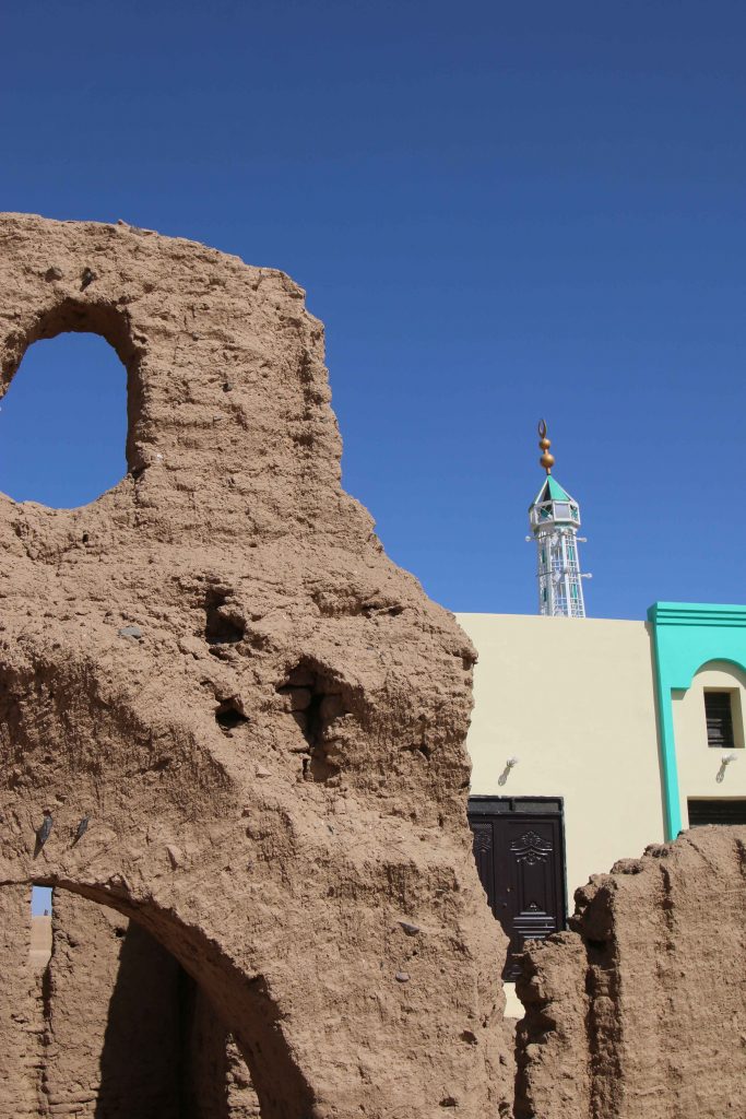
Major changes were observed compared to the state of preservation in times of Vila – one particularly illustrative example is Vila’s Kerma Period site 2-T-36B, partly overbuilt by modern houses and reduced because of the new electricity posts. Another example from the well-attested Christian period in our concession area is the church of Mograkka (2-L-2). While Vila documented it as single monument on a small hilltop, it is now embedded in newly built modern houses of the expanding village. The church new next-door neighbor is a modern mosque erected in the last years. Unfortunately, most of the Christian rock art, located by Vila in the immediate surroundings, are presently covered by modern debris from recent chanel works.
Detail of the well-preserved Church at Mograkka East with its new neighbour.
At other places, especially between Mograkka and Kosha, Neolithic and Post-Meroitic as well as Christian rock art was relocated by us. The most frequent motifs are cattle pictures and other animals like gazelles, hippos, ostriches and elephants.
Rock art site at Mograkka West.
The focus of our work in the first season was the east bank and here in
particular the district of Ginis. We conducted aerial photography of large
parts of the east bank, covering the area between Attab and Ginis by the drone
kindly lent to us from the Department of Cultural and Ancient Studies of LMU
Munich. These data will enable a digital elevation model and detailed
orthophotos. A survey system with measuring points using the GPS Antenna was
set up in this area as well, securing future work according to this
coordination.
A geophysical survey of four sites from the Kerma period and the New Kingdom was realized by Marion Scheiblecker in Ginis East, using the Magnetometer of the type Ferex Foerster. New site labels were created for these find spots (GiE 001 for Vila 2-T-36B: Kerma and New Kingdom settlement, GiE 002 for Vila 2-T-13: New Kingdom cemetery, GiE 003 for Vila 2-T-39: Kerma cemetery and GiE 004 for Vila 2-T-5: Kerma settlement). The respective results are very promising and can serve as firm basis for a focused excavation of these important sites in the upcoming seasons.
In sum, the first season of the MUAFS project was very successful, providing new and partly unexpected results (like the strong presence of Napatan sites in the region), highlightening the rich potential of the concession area for detailed work from the Mesolithic period up to Christian times and allowing us to plan the next working steps. For now, we consider the Kerma and New Kingdom sites already investigated by magnetometry as of prime priority for further fieldwork.
We will be busy in the next week working on the collected data from our field season and setting up a strategy for the next years of work between Attab and Ferka. Of course we will keep you updated!