
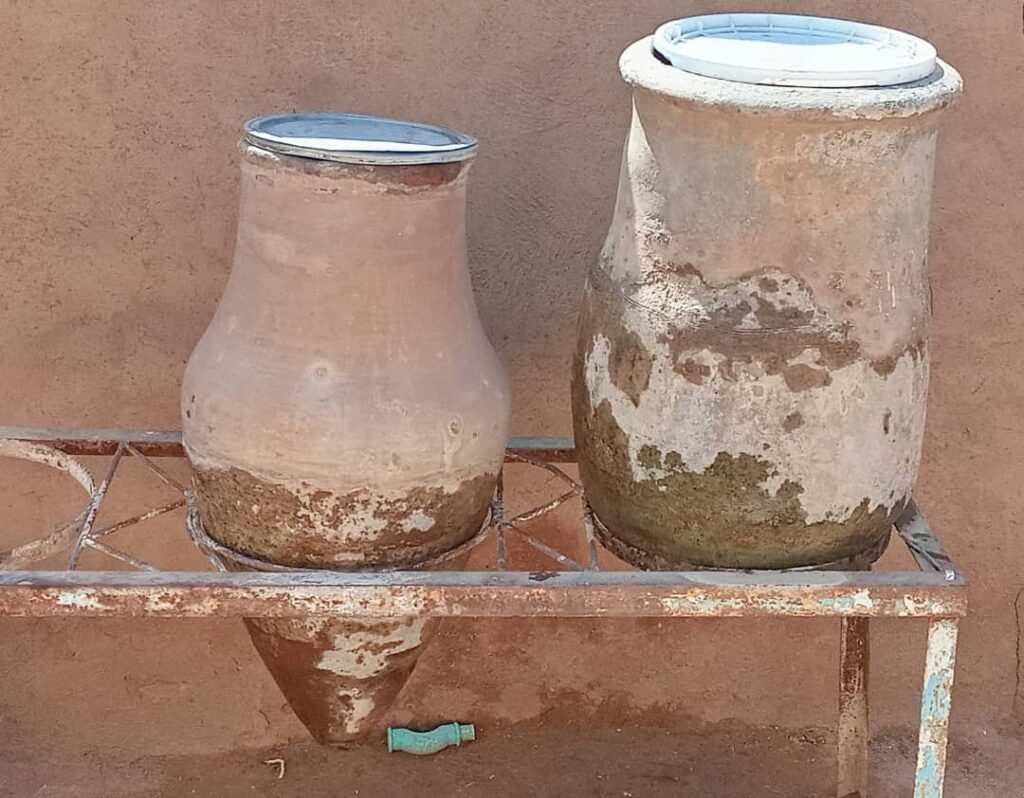
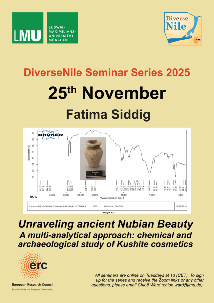
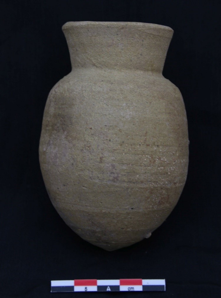
A so-called zir is a large pottery vessel for storing water and other materials. Local customs and traditions have developed in most parts, if not all, of Sudan, emphasizing the importance of having one or more zirs for storing drinking water. Additionally, the water that seeps out from the bottom of the zir is considered cleaner and is used for drinking by the sick or for making tea for those with a refined taste due to its higher purity.
The zir is well-known to most people, but some, especially the newer generation of Sudanese, particularly city dwellers, may not be familiar with it, as its use has decreased or become rare due to the availability of faster, easier, and more modern alternatives. However, the strongest survives!
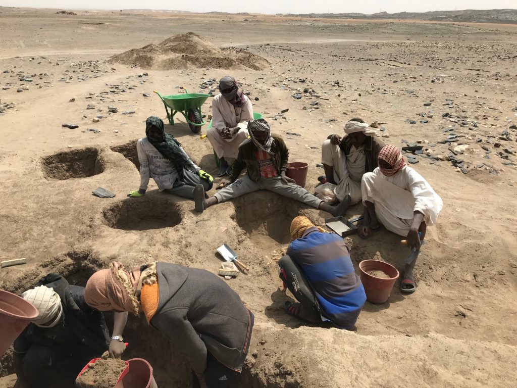
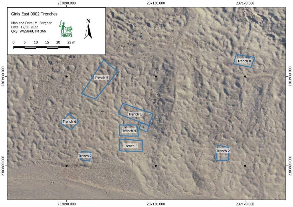
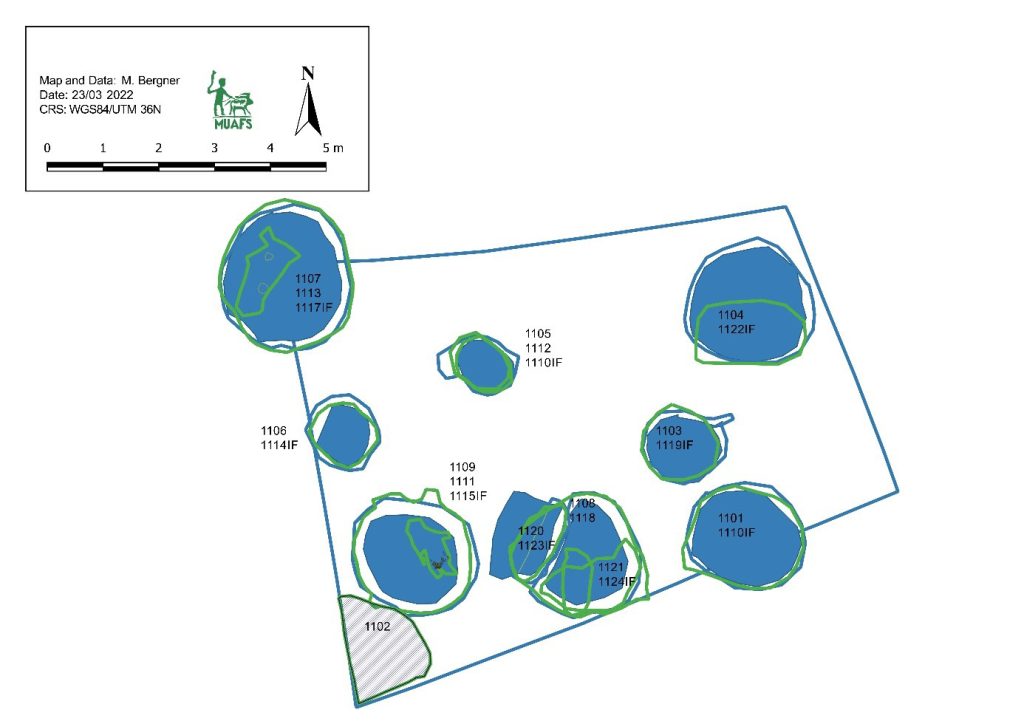
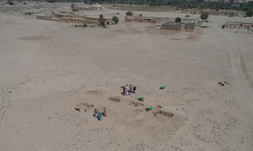
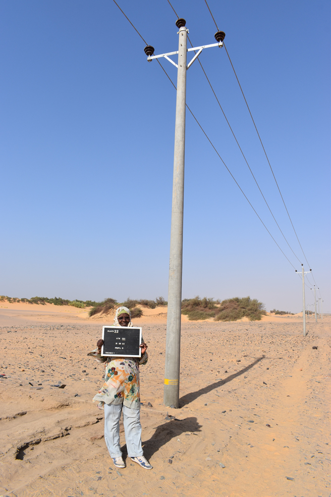
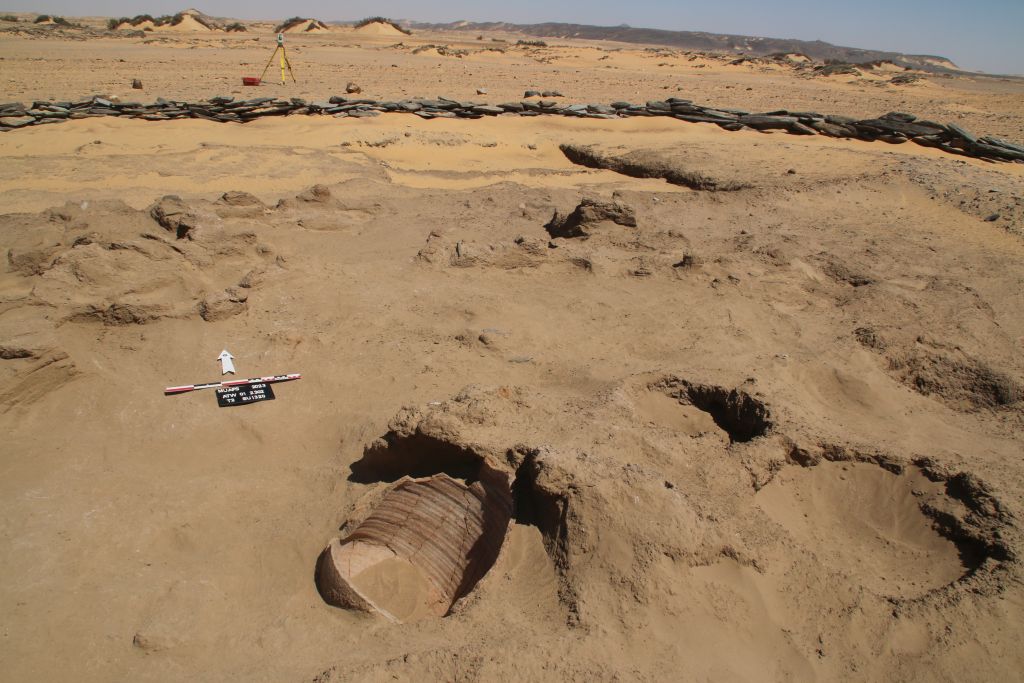
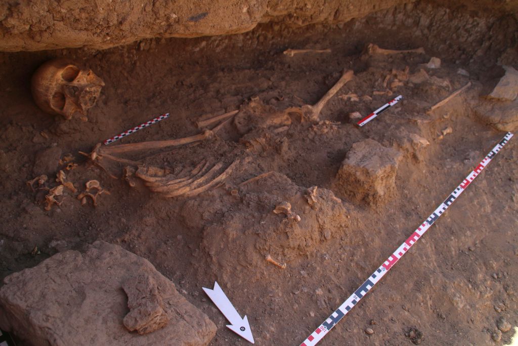
The zir has been known in Sudan since ancient times, with evidence found in archaeological excavations – such as the MUAFS excavations between Attab and Ferka and many other missions. It is studied by scholars and is part of ethnographic and folklore studies, as its production is accompanied by stories and legends. It also has various uses in Sudanese customs and cultures, such as in weddings and circumcisions.
Today, we discuss its continuity. During the war in Khartoum, I noticed that the use of the zir had increased. Previously, it had been particularly important in villages, unlike in cities such as Khartoum, where alternative water containers and drinking vessels were available. Altogether, the zir remains the preferred choice in Sudan.
There is a focus on creating a special place for it, whether by building it with green bricks or red bricks, or creating a seat with an iron canopy, known locally as a „Mazira“.
By chance, I learned a special method for cleaning it, particularly from the green fungi that grow on its exterior due to exposure to air and water seepage, known as „dew“.
Firstly, the zir is made by men in the field, but its care and cleaning are the responsibility of women, especially older women.
Despite the various types of zir in terms of size, shape, and color, depending on the materials used, there are also different methods of cleaning and decorating them from one region to another. There is also a preference for using black or red zirs.
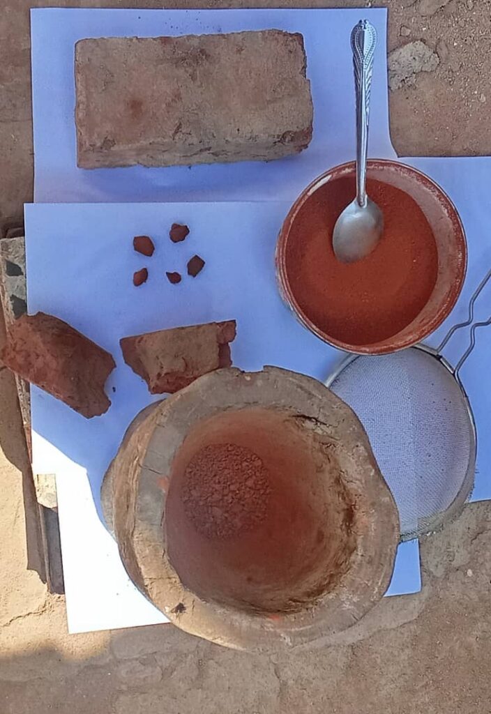
In Northern Sudan, both black and red zir are used, but there is a difference in decoration and polishing. The people of the Northern State and the River Nile State prefer to polish and clean the exterior using natural materials, often using red brick for red zir and black charcoal for black zir.
In Dongola and some Nubian regions, people often use red zirs or those with a reddish color, known to specialists, which is determined by the materials used and the firing process. In these regions, the lower part of the zir, which is more prone to green fungi, is painted with a coating, often red or yellow, and has become a distinctive mark of the people of Dongola.
I was fortunate to witness a cleaning process, polishing, and applying a special coating to one of the zir, and I documented the process with photos. The tools and materials used are natural and part of the heritage.
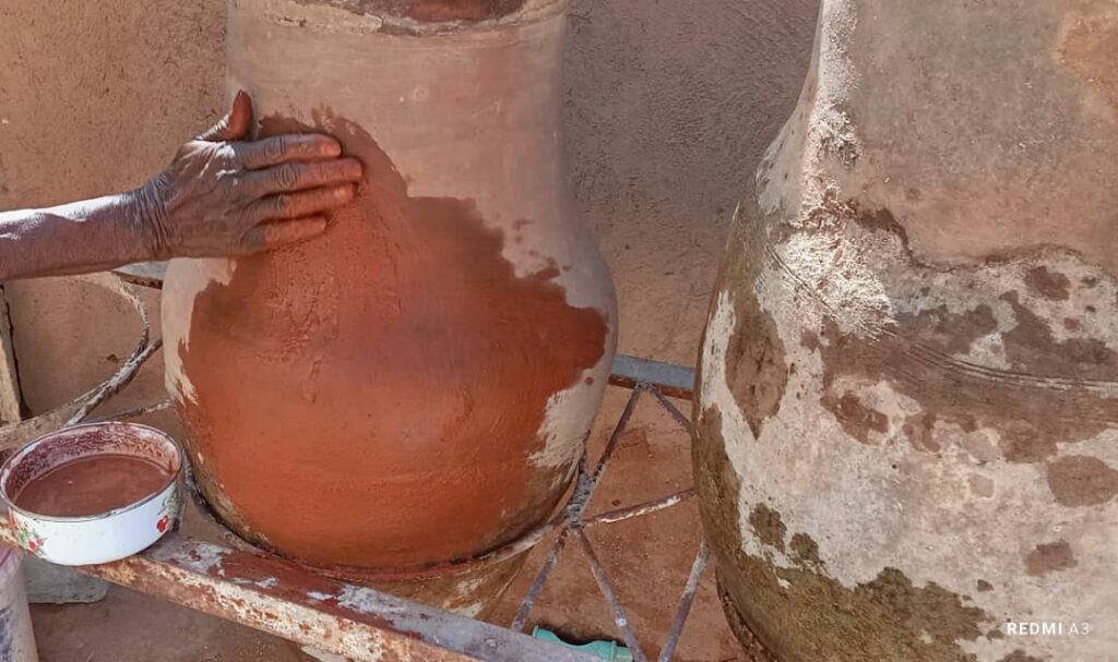
All of this is done to make the zir look clean and beautiful, and this method is usually used every month or more.
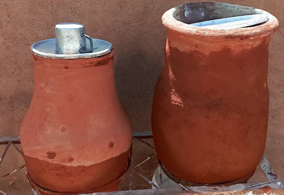
These are customs, traditions, and tools that are part of the Sudanese heritage, and we hope they will continue for future generations.

