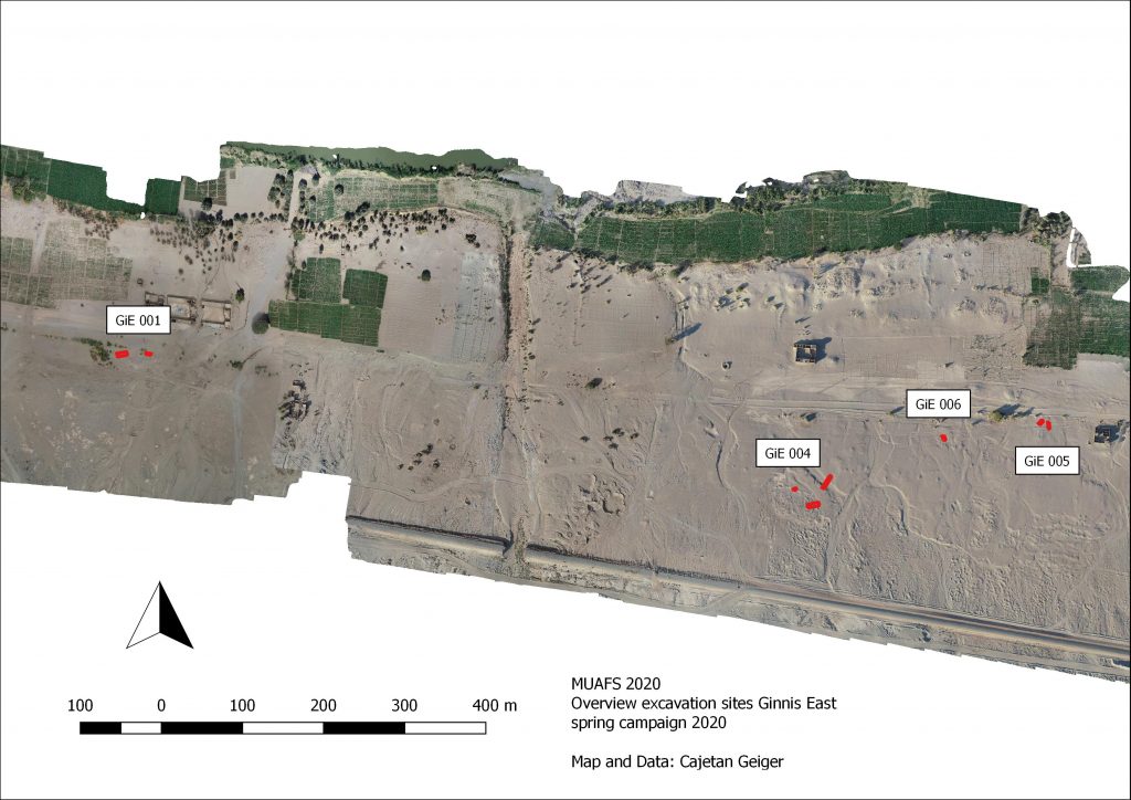
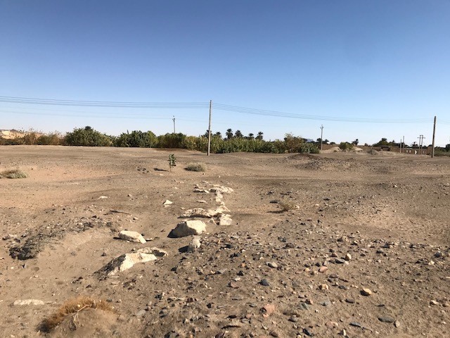
As already reported, the 2020 test excavations of the MUAFS project focused on Bronze Age sites at Ginis East, including Gie 001, where much Egyptian New Kingdom material was found. The following is a very short summary of our work at the Kerma sites GiE 004, 005 and 006.
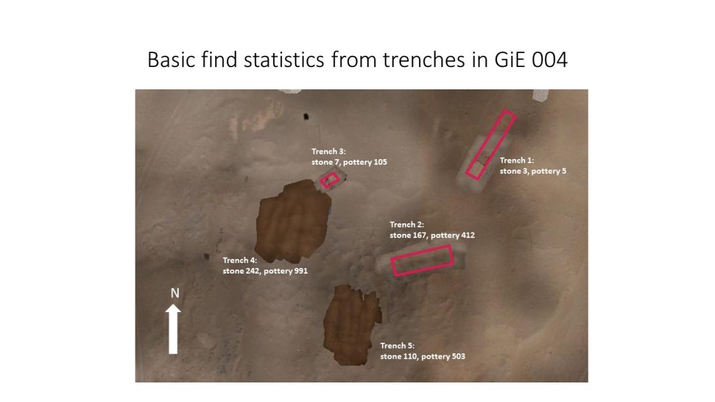
GiE 004
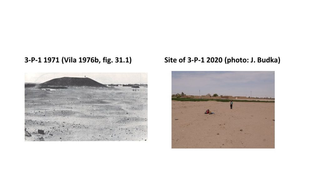
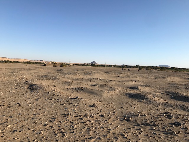
In 2019, we assumed that the site GiE 004 was documented by Andrè Vila in the 1970s as site 2-T-5. However, new georeferenced data and fresh GPS waypoints made it clear that this needs to be corrected and that GiE 004 was not documented by Vila, being located further to the south than 2-T-5.
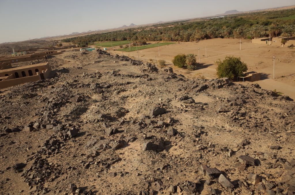
The magnetometry survey of the site by MUAFS in 2019 yielded promising results which, according to the finds and the structures visible on the magnetogram, were interpreted as remains of a Kerma village. Rounded huts, fences and walls seemed to be visible. The borders of the wadi systems were also clearly visible in the magnetogram. Our 2020 test trenches were chosen to proof if there was a kind of fortification along the wadi and whether the interpretation of the anomalies were correct.
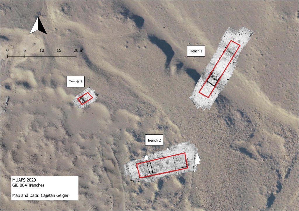
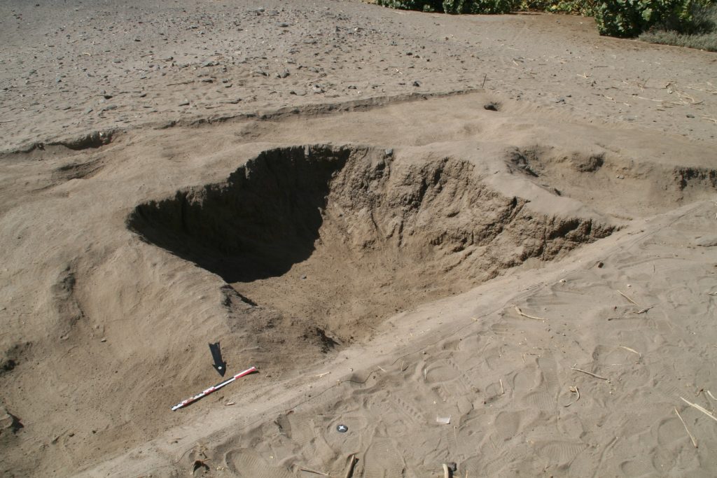
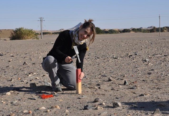
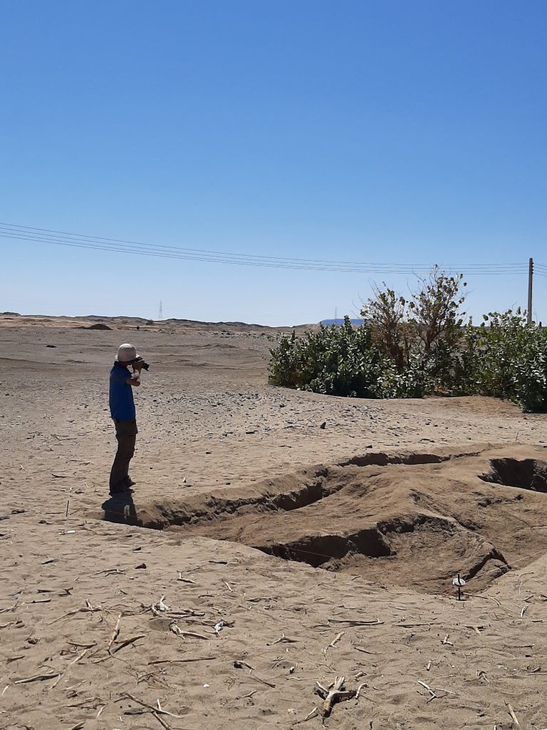
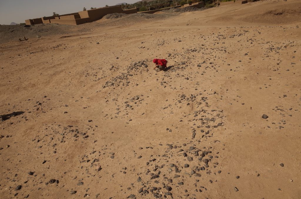
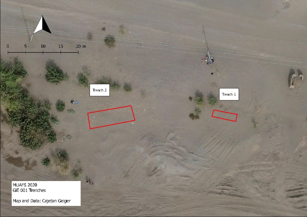
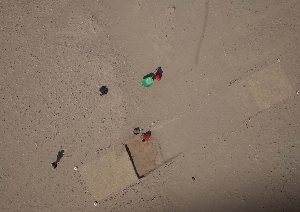
Three trenches were laid out (Trench 1: 18 x 3 m, at the edge of a wadi; Trench 2: 14 x 4 m, at the top of the plateau of the site; Trench 3: 2 x 3.5 m, within a circular depression around the central part of the site). After a shallow, sandy surface layer with many finds, no sedimentation and no structures were found in all three trenches. All features documented and which were alternating areas of sand and clay are clearly natural. Thus, the clear result of the 2020 text excavation at GiE 004 was that the anomalies of the magnetometry were over interpreted as structures and are actually natural features.
GiE 005 (Vila 2-T-5)
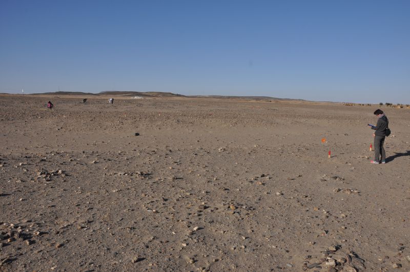
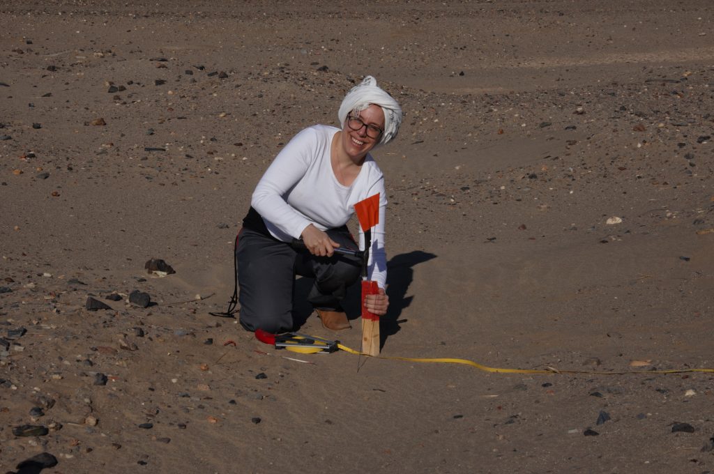
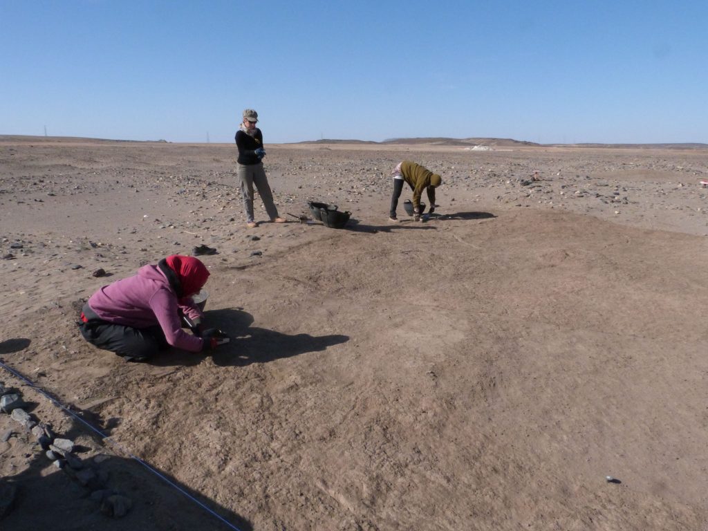
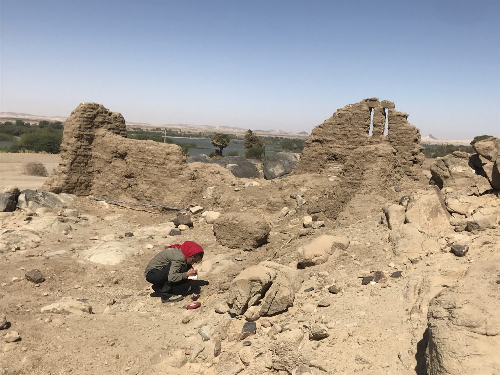
The Kerma site documented by Vila as 2-T-5 was labelled by MUAFS as GIE 005. The site is situated on the alluvial plain, and extends east west on the remains of a shallow, barely visible terrace (25-40 cm high). The site covered in the 1970s an area of c. 500 EW x 35 m NS – part of this is now below modern houses or destroyed because of car tracks. Two test trenches were laid out in 2020 in the eastern part of GIE 005.
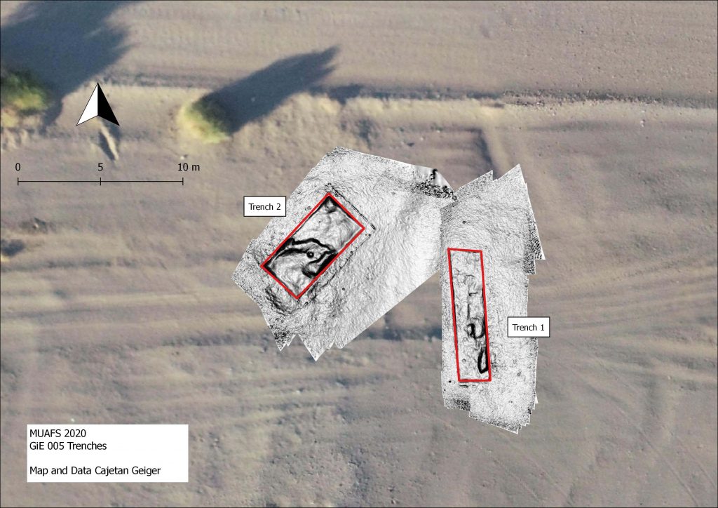
Trench 1 (8 x 2 m) yielded some small depressions and pits below a shallow sandy surface. Very few Kerma sherds were discovered in a lower muddy level, without evidence of structures or stratigraphy.
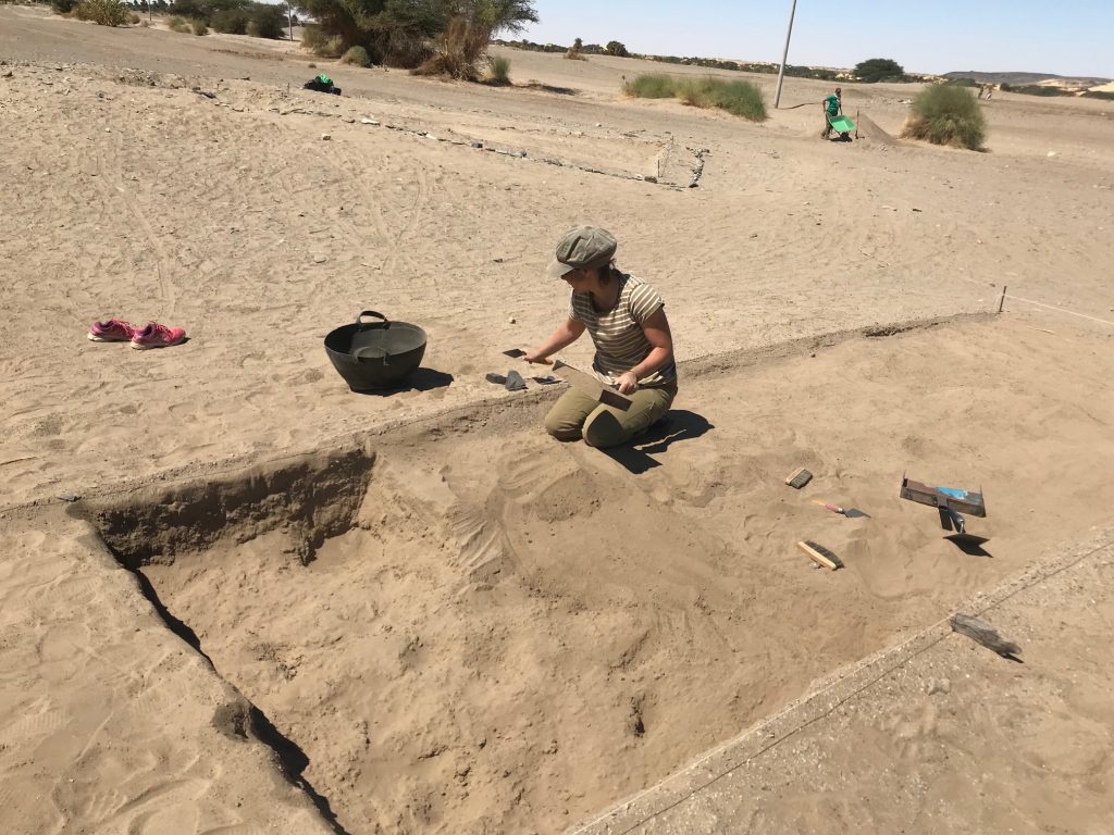
Trench 2 (6 x 3 m) comprised a small sandy hill with many schist stones scattered around. Here again, no structures and no sedimentation or stratigraphy were observed. The sandy hill seems to be a sub-recent assemblage of wind-blown sand. Interestingly, the same muddy layer like in Trench 1 below the sand yielded one single artefact, a Kerma sherd laying on a solid clay surface.
Overall, the camp site 2-T-5 is badly preserved, and no stratification is present, as already observed by Vila. One important result of our work in 2020, however, is a tentative dating to the Kerma Classique period and the presence of 18th Dynasty Egyptian material which has not been noted before. There were some Egyptian wheel-made pottery sherds between the ceramics – nicely datable to the early New Kingdom!
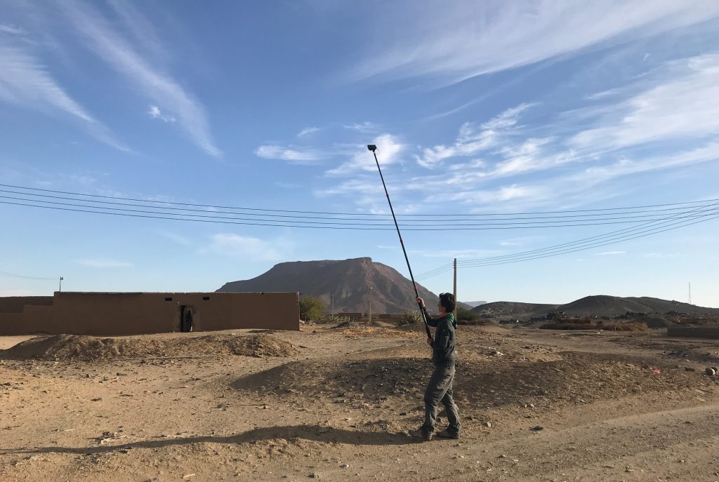
GiE 006 (south of Vila 2-T-5)
Surface finds suggest that the camp site 2-T-5 might also extend further to the south, south of the barely visible terrace of GiE 005. In order to test this, a trench was opened at a site now labelled as GIE 006. Trench 1 (3 x 5 m) only yielded surface finds and showed an irregular muddy, natural surface below the sandy surface layer. As in GiE 005, no stratification is preserved.
Although the finds are mixed and can also be explained with a multi-period use of the site, most of the material belongs to the Kerma horizon. Thus, this is probably an extension of a Kerma camp identical or similar to GiE 005.
Summary
In sum, the test excavations at Ginis East – including the results from GIE 001, provided important new data on 1) the character of the sites, 2) the dating of the sites and 3) the clarification that the interpretation of the magnetometry survey from 2019 turned out to show no actual structures, but different natural layers at GiE 001 and GiE 004.
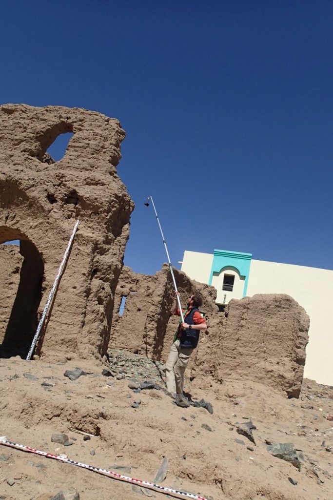
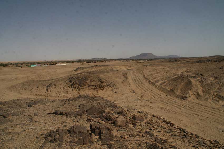
As it was already observed by Vila, at many sites on the east bank in the MUAFS concession there is little or no sedimentation preserved. This is an important aspect to consider in our next field seasons – the situation is markedly different on the west bank where we also documented some intriguing Bronze Age sites with mud brick remains. There is still much work ahead of us!